About ESA
The European Space Agency (ESA) is Europe’s gateway to space. Its mission is to shape the development of Europe’s space capability and ensure that investment in space continues to deliver benefits to the citizens of Europe and the world.
Highlights


Latest


Space in Member States
Find out more about space activities in our 23 Member States, and understand how ESA works together with their national agencies, institutions and organisations.
 Germany
 Austria
 Belgium
 Denmark
 Spain
Spain
 Estonia
 Finland
 France
 Greece
 Hungary
 Ireland
 Italy
Italy
 Luxembourg
 Norway
 The Netherlands
 Poland
 Portugal
 Czechia
 Romania
 United Kingdom
 Slovenia
 Sweden
 Switzerland
Science & Exploration
Exploring our Solar System and unlocking the secrets of the Universe
Go to topicAstronauts


Latest


Enabling & Support
Making space accessible and developing the technologies for the future
Go to topicLatest


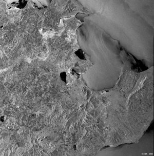
Cyprus - ASAR - 11 March 2004
This Advanced Synthetic Aperture Radar (ASAR) multitemporal colour composite image centred over the island of Cyprus located in the extreme eastern part of the Mediterranean Sea. Visible landmarks are Nicosia, one of the world's oldest cities, shown as a large bright area in the center of the island.
To the north are the mountains of the Kyrenia Range. The range parallels the coastline, extending into the Karpas Peninsula (upper right). Southwest of Nicosia are the Troödos Mountains.
The image is made of three ASAR images acquired on different dates and assigning a colour ( RGB ) to each date ( Red: 26 June 2003, Green: 09 October 2003, Blue: 18 December 2003).
Technical Information:
Instrument: Advanced Synthetic Aperture Radar (ASAR)
Date of Acquisition: 26 June 2003,09 October 2003, 18 December 2003
Instrument features: Image Mode Precision (30 meter resolution)
ASAR Mode: Image Swath 2
Orbit Direction : Ascending
Orbit number: 06910,08413,09415
ASAR Polarization: VV
Coordinates:
NW Lat/Long: N 34.37/ E 34.23
NE Lat/Long: N 34.25/ E 33.15
SE Lat/Long: N 35.16/ E 33.01
SW Lat/Long: N 35.28/ E 34.10