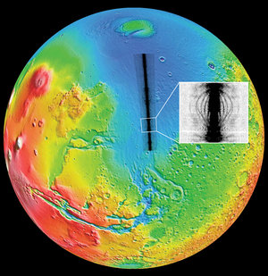

Image from shallow-sounding profile
This image represents a 60 km-long profile taken from the first flight. It is based on shallow-sounding data with 85 MHz bandwidth for the transmitted pulse. The surface echo appears in the top part of the image as a red line. Due to the high sensitivity of the instrument, the signal received as a double bounce is also detected and is visible as a pale blue line, parallel to the surface. However, this feature does not correspond to a true echo and is considered, according to the radar lexicon, as a 'ghost'. Finally, the subsurface echo also appears in pale blue and shows increasing bedrock depth from left to right. In the left-hand part of the image, the two-way time delay of the subsurface echo relative to the surface one is about 10 microseconds, corresponding to an ice depth of about 1 km.


