About ESA
The European Space Agency (ESA) is Europe’s gateway to space. Its mission is to shape the development of Europe’s space capability and ensure that investment in space continues to deliver benefits to the citizens of Europe and the world.
Highlights


Latest


Space in Member States
Find out more about space activities in our 23 Member States, and understand how ESA works together with their national agencies, institutions and organisations.
 Germany
 Austria
 Belgium
 Denmark
 Spain
Spain
 Estonia
 Finland
 France
 Greece
 Hungary
 Ireland
 Italy
Italy
 Luxembourg
 Norway
 The Netherlands
 Poland
 Portugal
 Czechia
 Romania
 United Kingdom
 Slovenia
 Sweden
 Switzerland
Science & Exploration
Exploring our Solar System and unlocking the secrets of the Universe
Go to topicAstronauts


Latest


Enabling & Support
Making space accessible and developing the technologies for the future
Go to topicLatest


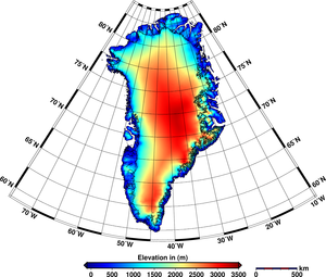
Earth’s shifting ice

Using data from ESA’s CryoSat mission, scientists have produced the best maps yet of the changing height of Earth’s biggest ice sheets.
CryoSat measures the height of ice – both of that floating in the polar oceans and of the vast ice sheets covering Greenland and Antarctica. This information is essential for working out the thickness of the ice and how it is changing and, ultimately, how the volume of Earth’s ice is being affected by the climate.
Their preliminary assessment is very close to that produced from gravity-sensing satellites, which currently see Greenland losing over 250 billion tonnes of ice a year.
However, CryoSat brings important additional detail to the picture.
It allows the team to study changes across the entire ice sheet at fine resolution, meaning the scientists are able to monitor the behaviour of individual glaciers.
Carrying an advanced radar altimeter, CryoSat orbits Earth at just over 700 km, reaching latitudes of 88° north and south to maximise its coverage of the poles.
The radar altimeter is not only able to detect tiny variations in the height of the ice but also measure sea level with unprecedented accuracy.
As the animation shows, the mission’s measurements of sea level incidentally also map the topography of the ocean floor, revealing thousands of previously unchartered ‘seamounts’, ridges and deep ocean structures.
This animation visualises the changes the satellite has seen on Earth since its launch in 2010.