ESAEducationHomeMeteorologia e ClimaMudança GlobalDesastres Naturais
   
Mudança costeira
Delta do DanúbioDerrames de Petróleo
Desflorestação
Parque Nacional de BardiaBacia do Rio CongoKameng-SonitpurKilimanjaroRondóniaShillong e Guwahati
Ice
Análise de glaciares utilizando imagens de radarExpedição à AntárctidaAlterações climáticas e glaciaresRecuo dos glaciares nos AlpesFluxo de gelo glaciarMonitorização de glaciares nos HimalaiasDeteção remota de gelo e neve
Urbanização
CairoCatmanduCórdobaHimalaiasVale de CatmanduLagos
Vegetação
Área de Conservação de AnnapurnaPerdidos nos Andes!Área de Conservação de NgorongoroDelta Interior do NígerVegetação da América do Sul


Article Images
A expedição à Antárctida em 2003 - Informação de base
 
Download:
 HI-RES GIF (Size: 75 kb)
Antarctica 2003.

Credits: Eduspace
 
 
Radar image from the ERS satellite
Download:
 HI-RES JPEG (Size: 81 kb)
This ERS radar image shows an airport, roads, buildings and grassland.

Credits: Eduspace
 
 
Radar image from a coastal image
Download:
 HI-RES JPEG (Size: 62 kb)
A radar image from a coastal image. When crossing the sea, wind speed changes. This is visible in grey tones: the brighter the pixel the higher the windspeed.

Credits: Eduspace
 
 
Lambert glacier
Download:
 HI-RES JPEG (Size: 116 kb)
One of the largest glaciers of Antarctica: the Lambert glacier. The image size is 400 km across.

Credits: Eduspace
 
 
Download:
 HI RES JPG (Size: 144 kb)
ASAR image acquired 21 November 2003, showing an 424 x 445km area of the Antarctic coast the total solar eclipse was due to occur in. Note the area of bright points representing glacier-calved icebergs towards the centre of the image; this region is where the Kapitan Khlebnikov icebreaker was located by 23 November. Envisat and Meteosat satellite images have been provided to the Antarctica 2003 team throughout their voyage.

Credits: ESA
 
 
Example of interpretation of different ice types
Download:
 HI-RES JPEG (Size: 719 kb)
Example of interpretation of different ice types.

Credits: Eduspace
 
 
Download:
 HI-RES JPEG (Size: 218 kb)


Credits: ESA


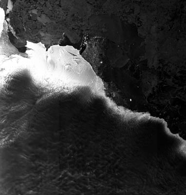
Expedição à Antárctida em 2003
Introdução
Exercícios
IntroduçãoExercício 1 - Acompanhar um colega de turmaExercício 2 - Guiar o navio quebra-gelo através do gelo utilizando imagens e mapasExercício 3 - Guiar o navio quebra-gelo através do gelo utilizando o computadorExercício 4 - Socorro, o navio quebra-gelo está encalhado!


   Copyright 2000 - 2014 © European Space Agency. All rights reserved.