Future-proofing ice measurements from space
With diminishing ice one of the biggest casualties of our warming world, it’s imperative that accurate measurements continue to be made for scientific research and climate policy, as well as for practical applications such as ship routing.
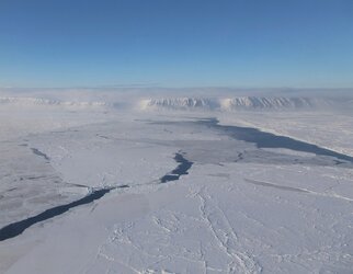
To ensure that ESA and NASA are getting the best out of their ice-measuring satellites and to help prepare for Europe’s new Cristal satellite, the two space agencies along with the British Antarctic Survey and a team of scientists teamed up recently to carry out an ambitious campaign in Antarctica.
The campaign involved taking simultaneous measurements of sea ice from ESA’s CryoSat and NASA’s ICESat-2 satellites, and from an aircraft flying directly beneath the two satellites.
It is the first time that this has ever been done in the Antarctic.
CryoSat carries a radar altimeter and ICESat-2 carries a laser. Both instruments measure the height of ice by emitting a signal and timing how long it takes for the signal to bounce off the ice surface and return to the satellite.
Knowing the height of the ice allows scientists to calculate thickness – which, along with measurements of the extent of ice coverage, is vital for understanding how the volume of ice is changing, both ice on land and ice floating in the sea.
This is particularly difficult over sea ice because snow can build up on top of the ice.

Determining the thickness of sea ice involves measuring the ‘freeboard’ of ice floes – the height protruding from the water. However, snow can push the floe down into the water, hiding the ice’s true thickness. A snow-loading correction therefore needs to be applied to the data.
Combining measurements from the two satellites allows scientists to correct for this snow-loading effect.
While CryoSat’s radar penetrates through the snow layer and reflects closely off the ice below, ICESat-2’s laser reflects off the top of the snow layer. Blending simultaneous satellite laser and radar readings means that estimates of snow depth will be more reliable.
However, currents and wind shift sea ice around. Under normal circumstances, the two satellites would take measurements over the same location days apart, so it could be different ice under their normal orbital paths. Ice on land is, of course, less dynamic.
Until now, scientists have not been able to fully exploit coincident measurements recorded by each mission to monitor sea ice in the Southern Ocean.
A couple of years ago, ESA carried out the tricky task of raising CryoSat’s orbital height by almost 1 km to phase its ground tracks with those of ICESat-2. This orbital adjustment provides a unique opportunity to compare coincident measurements from both satellite sensors.
Now that scientists are getting two different types of measurements of the same sea ice, the recent Antarctic campaign served as an essential inter-satellite calibration step and paves the way for the future use of the separate satellite measurement records.
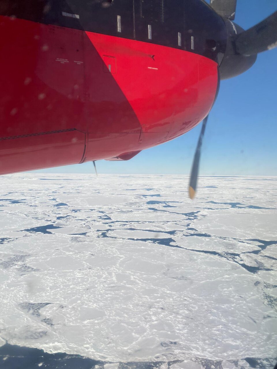
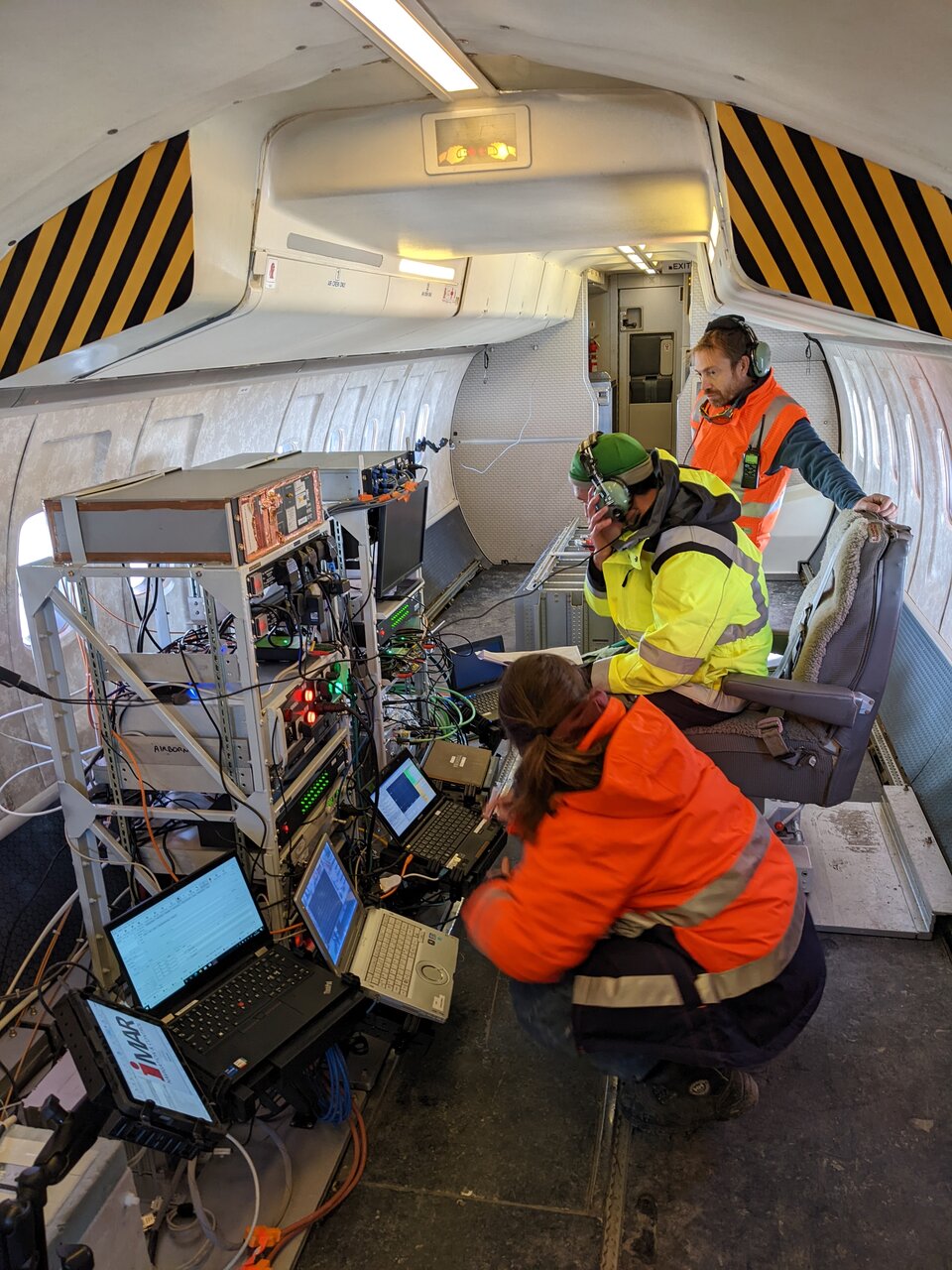
For the campaign, the British Antarctic Survey’s DASH-7 aircraft was fitted with cutting-end sensors that mimic the radar altimeter on CryoSat and the laser on ICESat-2. It was also fitted with instruments that measure snow depth, surface albedo, and roughness.
Flights from the Survey’s Rothera Research Station were timed to take place exactly as the satellites orbited above, allowing the team to gather a suite of high-resolution data over the same sea ice. This will help the team develop more accurate algorithms to improve satellite-derived sea-ice thickness estimates.
By applying these algorithms to the historical satellite radar altimetry record such from CryoSat, they will provide a time series of Antarctic sea-ice thickness stretching back decades and fill gaps in the knowledge of sea ice in the polar regions.
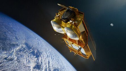
The DASH-7 aircraft also carried an additional set of sensors similar to those that will be carried on the new Copernicus Polar Ice and Snow Topography Altimeter mission, or Cristal for short.
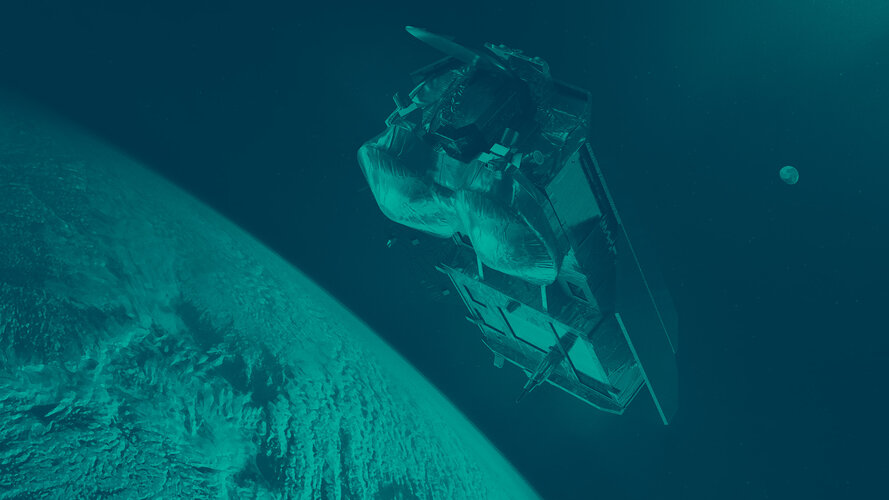
Instead of relying on radar and laser measurements from different satellites, CRISTAL’s radar will use two different frequencies to measure and monitor sea-ice thickness, overlying snow depth and ice-sheet elevations.
Cristal will ensure the long-term continuation of radar altimetry ice-elevation and topographic-change records, following on from CryoSat and other heritage missions.
These data will support safe maritime operations in the polar oceans and contribute to a better understanding of climate processes. Cristal will also support applications related to coastal and inland waters, as well as providing observations of ocean topography.
Andrew Shepherd, from the University of Leeds and principal scientific advisor to the CryoSat and Cristal missions, noted, “Flying the DASH-7 is an exciting opportunity as it shows that we can bridge the gap that will arise between CryoSat and Cristal.”
ESA Research Fellow, Isobel Lawrence, noted, “The campaign in Antarctica has been essential in future-proofing sea-ice thickness measurements from space.”
ESA’s Cristal mission scientist, Paolo Cipollini, added, “ESA is in the process of developing Cristal for the European Union’s Copernicus programme. This mission will provide the sustained, long-term observations crucially needed for polar climate monitoring, climate research and marine services. And it is also expected to enable exciting new science, by virtue of its enhanced and expanded set of instruments”.


Access the video


 Germany
 Austria
 Belgium
 Denmark
 Spain
Spain
 Estonia
 Finland
 France
 Greece
 Hungary
 Ireland
 Italy
Italy
 Luxembourg
 Norway
 The Netherlands
 Poland
 Portugal
 Czechia
 Romania
 United Kingdom
 Slovenia
 Sweden
 Switzerland


