ESAEducationInicioTiempo y climaCambio globalDesastres naturales
   
Cambios costales
Detección de cambios en el delta del DanubioContaminación de aceite
Deforestación
Parque Nacional de BardiaCuenca del río CongoKameng-SonitpurKilimanjaroRondoniaShillong y Guwahati
Hielo
Análisis de los glaciares mediante imágenes de radarLa Antártida 2003El cambio climático y los glaciaresEl retroceso de los glaciares alpinosFlujo glaciarMonitorización de los glaciares del HimalayaLa teledetección de hielo y nieve
Urbanización
CórdobaEl CairoKatmandúHimalayasValle de KatmandúLagos
Vegetación
Área de Conservación de AnnapurnaPerdidos en los AndesZona de Conservación de Ngorongoro (NCA)Delta interior del NígerLa vegetación en América del Sur


Article Images
La Antártida 2003 - Información
 
Download:
 HI-RES GIF (Size: 75 kb)
Antarctica 2003.

Credits: Eduspace
 
 
Radar image from the ERS satellite
Download:
 HI-RES JPEG (Size: 81 kb)
This ERS radar image shows an airport, roads, buildings and grassland.

Credits: Eduspace
 
 
Radar image from a coastal image
Download:
 HI-RES JPEG (Size: 62 kb)
A radar image from a coastal image. When crossing the sea, wind speed changes. This is visible in grey tones: the brighter the pixel the higher the windspeed.

Credits: Eduspace
 
 
Lambert glacier
Download:
 HI-RES JPEG (Size: 116 kb)
One of the largest glaciers of Antarctica: the Lambert glacier. The image size is 400 km across.

Credits: Eduspace
 
 
Download:
 HI RES JPG (Size: 144 kb)
ASAR image acquired 21 November 2003, showing an 424 x 445km area of the Antarctic coast the total solar eclipse was due to occur in. Note the area of bright points representing glacier-calved icebergs towards the centre of the image; this region is where the Kapitan Khlebnikov icebreaker was located by 23 November. Envisat and Meteosat satellite images have been provided to the Antarctica 2003 team throughout their voyage.

Credits: ESA
 
 
Download:
 HI-RES JPEG (Size: 218 kb)


Credits: ESA
 
 
Example of interpretation of different ice types
Download:
 HI-RES JPEG (Size: 719 kb)
Example of interpretation of different ice types.

Credits: Eduspace


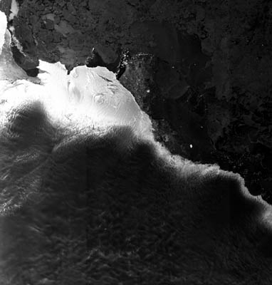
La Antártida 2003
La Antártida 2003 - Introducción
Ejercicios
Hoja de trabajo - introducciónEjercicio 1 - Acompaña a una estudiante - IntroducciónEjercicio 2 - Operaciones con copias impresas de imágenes y mapasEjercicio 3 - Usando la computadoraEjercicio 4


   Copyright 2000 - 2014 © European Space Agency. All rights reserved.