Accept all cookies Accept only essential cookies See our Cookie Notice

About ESA
The European Space Agency (ESA) is Europe’s gateway to space. Its mission is to shape the development of Europe’s space capability and ensure that investment in space continues to deliver benefits to the citizens of Europe and the world.
Highlights
ESA - United space in Europe
This is ESA ESA facts Member States & Cooperating States Funding Director General Top management For Member State Delegations European vision European Space Policy ESA & EU Responsibility & Sustainability Annual Report Calendar of meetings Corporate newsEstablishments & sites
ESA Headquarters ESA ESTEC ESA ESOC ESA ESRIN ESA EAC ESA ESAC Europe's Spaceport ESA ESEC ESA ECSAT Brussels Office Washington OfficeWorking with ESA
Business with ESA ESA Commercialisation Gateway Law at ESA Careers Cyber resilience at ESA IT at ESA Newsroom Partnerships Merchandising Licence Education Open Space Innovation Platform Integrity and Reporting Administrative Tribunal Health and SafetyMore about ESA
History ESA Historical Archives Exhibitions Publications Art & Culture ESA Merchandise Kids Diversity ESA Brand Centre ESA ChampionsLatest
Space in Member States
Find out more about space activities in our 23 Member States, and understand how ESA works together with their national agencies, institutions and organisations.
Science & Exploration
Exploring our Solar System and unlocking the secrets of the Universe
Go to topicAstronauts
Missions
Juice Euclid Webb Solar Orbiter BepiColombo Gaia ExoMars Cheops Exoplanet missions More missionsActivities
International Space Station Orion service module Gateway Concordia Caves & Pangaea BenefitsLatest
Space Safety
Protecting life and infrastructure on Earth and in orbit
Go to topicAsteroids
Asteroids and Planetary Defence Asteroid danger explained Flyeye telescope: asteroid detection Hera mission: asteroid deflection Near-Earth Object Coordination CentreSpace junk
About space debris Space debris by the numbers Space Environment Report In space refuelling, refurbishing and removingSafety from space
Clean Space ecodesign Zero Debris Technologies Space for Earth Supporting Sustainable DevelopmentLatest
Applications
Using space to benefit citizens and meet future challenges on Earth
Go to topicObserving the Earth
Observing the Earth Future EO Copernicus Meteorology Space for our climate Satellite missionsCommercialisation
ESA Commercialisation Gateway Open Space Innovation Platform Business Incubation ESA Space SolutionsLatest
Enabling & Support
Making space accessible and developing the technologies for the future
Go to topicBuilding missions
Space Engineering and Technology Test centre Laboratories Concurrent Design Facility Preparing for the future Shaping the Future Discovery and Preparation Advanced Concepts TeamSpace transportation
Space Transportation Ariane Vega Space Rider Future space transportation Boost! Europe's Spaceport Launches from Europe's Spaceport from 2012Latest

Sentinel-3B-Aufnahme von Nordeuropa
Thank you for liking
You have already liked this page, you can only like it once!
Der Copernicus-Satellit Sentinel-3B hat am 8. Mai 2018 um 09:33 GMT (11:33 MESZ) diese seltene wolkenfreie Sicht auf Nordeuropa aufgenommen. Merkmale auf dem Land und im Wasser sind deutlich zu erkennen, wie z.B. verschiedene Arten von Bodenbedeckung, Schnee und auch eine Phytoplanktonfahne in der Nordsee.
Das Bild wurde mit dem Ozean- und Landfarbinstrument des Satelliten aufgenommen, das 21 verschiedene Bänder, eine Auflösung von 300 m und eine Bandbreite von 1270 km aufweist. Das Gerät kann zur Überwachung von Meeresverschmutzung und Entwicklung von Ozeankulturen sowie über Land zur Überwachung des Vegetationszustandes eingesetzt werden. Das Instrumentenpaket von Sentinel-3B umfasst außerdem ein Meeres- und Landoberflächentemperatur-Radiometer, einen Radarhöhenmesser mit synthetischer Apertur und ein Mikrowellenradiometer.
Sentinel-3B wurde am 25. April vom Kosmodrom Plesezk (Russland) aus gestartet und schließt sich seinem Zwilling, Sentinel-3A, im Orbit an. Die Kopplung der beiden Satelliten optimiert die Abdeckung und Datenbereitstellung für das europäische Umweltüberwachungsprogramm Copernicus.
-
CREDIT
Erstellt mit modifizierten Copernicus Sentinel-Daten (2018), bearbeitet von EUMETSAT -
LICENCE
CC BY-SA 3.0 IGO or ESA Standard Licence
(content can be used under either licence)

Baikalsee, Sibirien

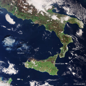
Copernicus Sentinel-3 view of Sicily and southern Italy

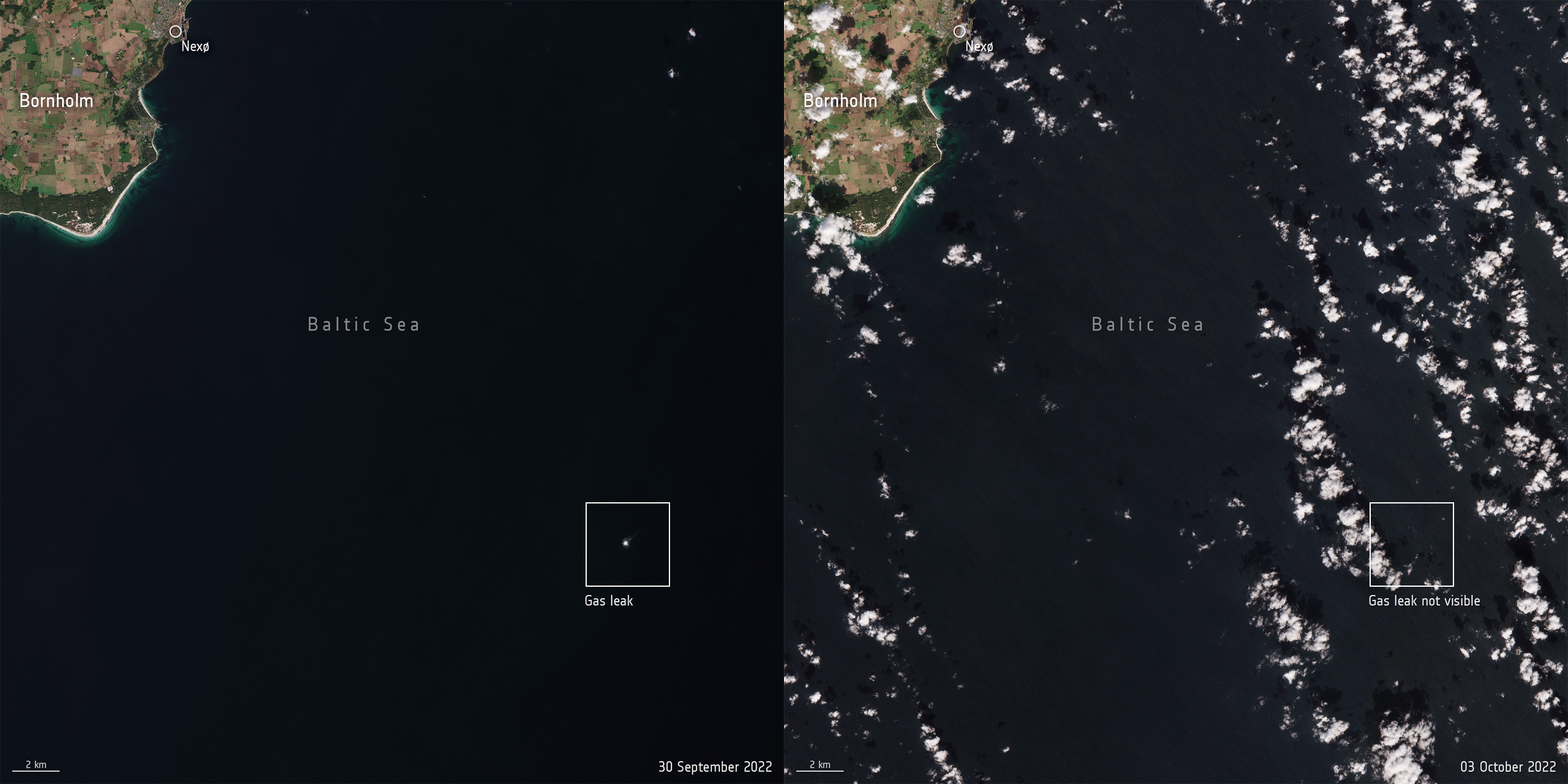
Gas leak detected by Copernicus Sentinel-2

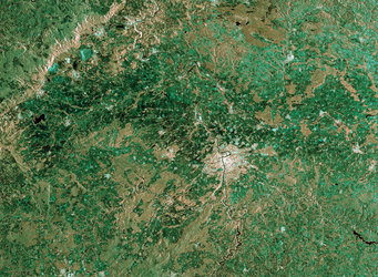
Sentinel-1A image over Prague


 Germany
 Austria
 Belgium
 Denmark
 Spain
Spain
 Estonia
 Finland
 France
 Greece
 Hungary
 Ireland
 Italy
Italy
 Luxembourg
 Norway
 The Netherlands
 Poland
 Portugal
 Czechia
 Romania
 United Kingdom
 Slovenia
 Sweden
 Switzerland


