Coastal change Danube Delta change detectionOil spillsDeforestation Bardia National ParkCongo River BasinKameng-Sonitpur Elephant ReserveKilimanjaroRondoniaShillong and GuwahatiIce Antarctica 2003Climate change and glaciersGlacier analysis using radar imageryGlacial retreat in the AlpsGlacier Ice FlowMonitoring of glaciers in the HimalayasRemote sensing of ice and snowUrbanisation CairoCity of KathmanduCórdobaHimalayasKathmandu ValleyLagosVegetation Annapurna Conservation AreaLost in the AndesNgorongoro Conservation AreaNiger Inland DeltaVegetation in South America
|  | | | | | | | Article Images |  |
Exercise 2 - Guide the icebreaker through the ice using images and maps
| | | | | Icebreaker 'Kapitan Khlebnikov' in Arctic ice en rout to Wrangel Island.
Credits: Roderick Eime | |  |  | |
| | | | | This radar image has been analysed and a ship track proposed - You can do now the same for the image of Antarctica.
Credits: ESA | | | | |
| | | | | Extract of the quicklook of the image taken on 21 November 2002 by MERIS in visible wavelength showing a dense cover of clouds.
Credits: ENIVSAT/MERIS | | | | |
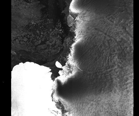
| | | | | Image taken on 21 November 2002 by ASAR, in microwave wavelength penetrating the clouds.
Credits: ENIVSAT/ASAR | | | | |
| |
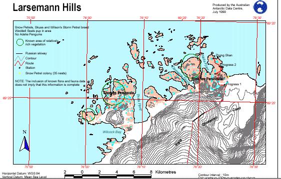
| | Antarctica 2003 expedition IntroductionBackgroundExercises IntroductionExercise 1 - Accompany a classmateExercise 3 - Guide the icebreaker through the ice using a computerExercise 4 - Help, the icebreaker is stuck!Links Australian Antarctic DivisionMaps Larsemann HillsDavis station - webcamEduspace - Software LEOWorks 3Eduspace - Download ant2003_ex03.jpgant2003_ex08.jpgant2003_ex09.jpgant2003_ex10.jpgant2003_ex11.jpgant2003_ex12.jpgant2003_ex03.txt
|


